The Shapmer Bike Tour
Welcome to the Shapmer bike tour!!
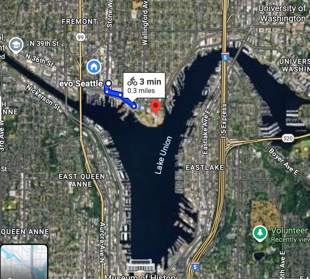
Get on the Burke Gilman and ride to Gasworks Park
Google Maps .3 miles
Walk up to the top of the hill at Gasworks Park and enjoy the stunning views.
Gas Works Park in Seattle was transformed from an abandoned gas manufacturing plant (1906-1956) into a public park in 1975. Instead of demolishing the old industrial structures, landscape architect Richard Haag incorporated them into the design, creating a unique park that celebrates its industrial heritage while offering green space and lake views.
Go to the University fountain
Google Maps 2 miles
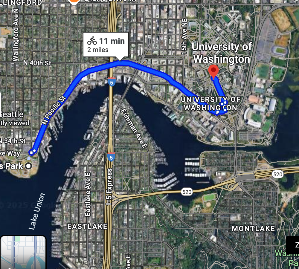
Bike to the campus of the University of Washington and check out this absurdly big fountain. Feel free to bop around campus before returning to the tour route. It's a beautiful university.
Drumheller Fountain is located at the heart of the University of Washington campus in Seattle, serving as a central landmark with views of Mount Rainier. The fountain was created as part of the 1909 Alaska-Yukon-Pacific Exposition, which shaped the campus layout and established the Rainier Vista - the scenic corridor that frames the fountain and provides the iconic view toward the mountain.
Cross the bridge, bike Underneath 520 and end up at a cool park
Google Maps 1 mile
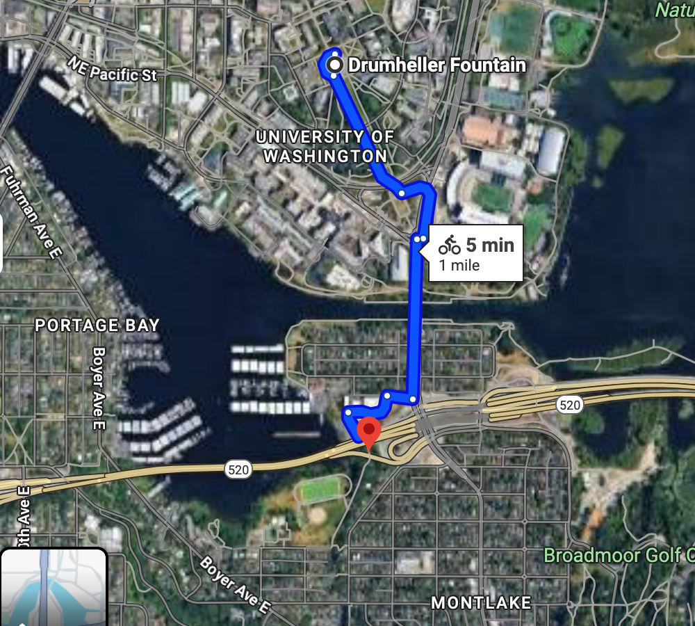
When crossing over the bridge, you'll want to be on the right hand side. Cross the street at the bottom of the University mall - the google maps should guide you accordingly.
Once you cross the bridge, you'll ride along a wide sidewalk for a few blocks. Right before the entrance to highway, you'll take the path down to the right. Google is aware of this path, which is great. You'll kick out next to a nice field.
Bike to Interlaken Park
0.7 miles
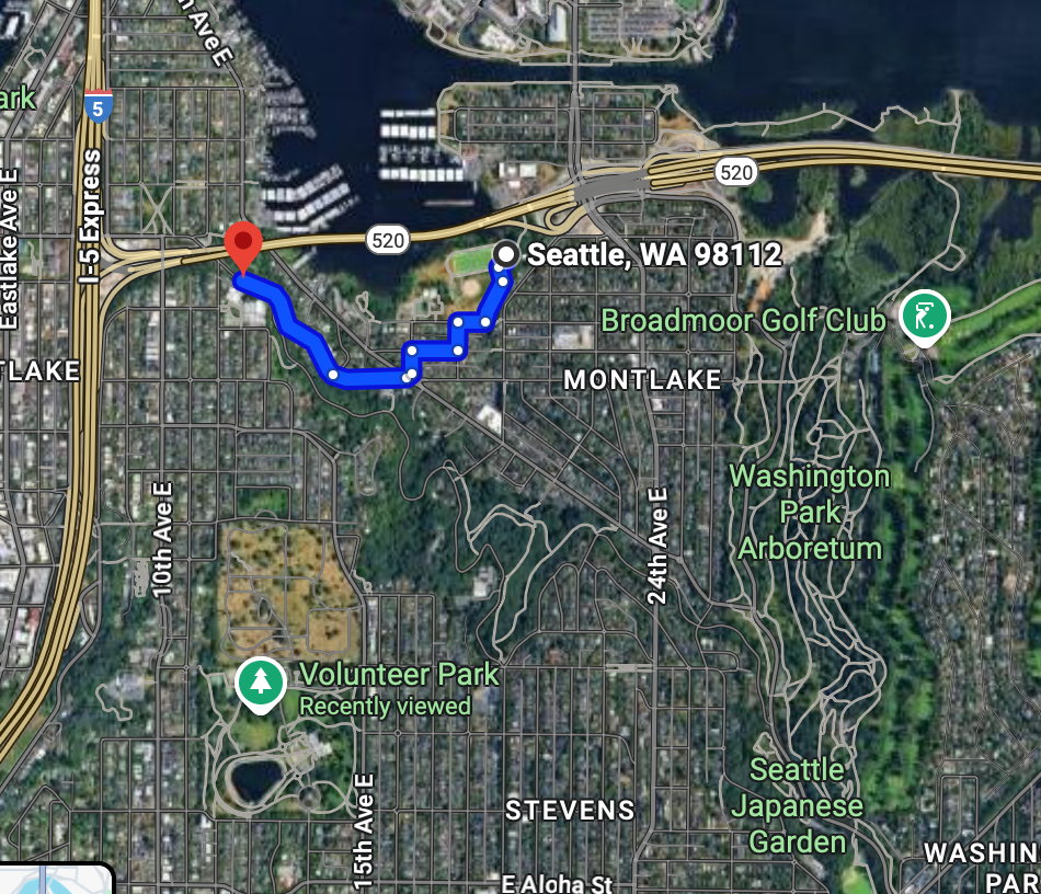
from that field, bike a few blocks through the neighborhood and bike up a decently steep road to get to the beginning of Interlaken park. You'll be biking on a road that cuts through it.
Bike through Interlaken Park
1.2 miles
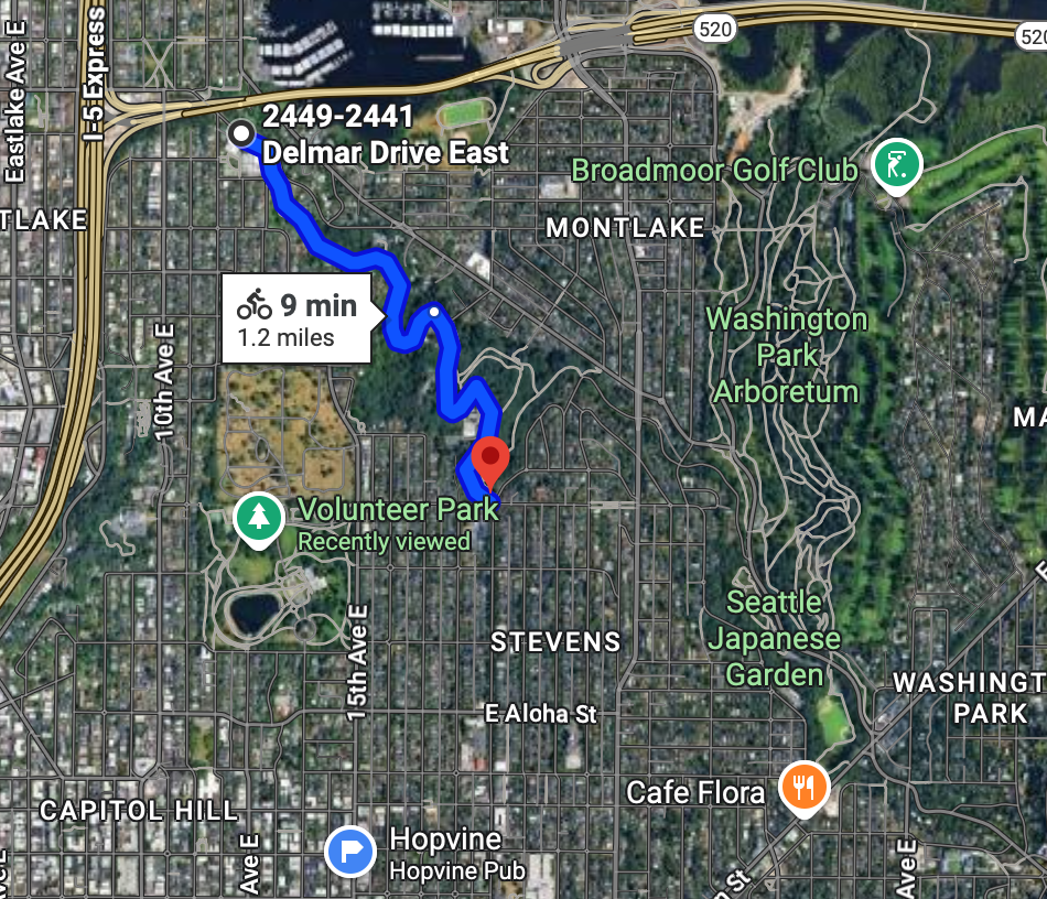
Enjoy this beautiful gradual uphill. I love riding through here.
Bike along Lake Washington Blvd to the i90 lid
This is a beautiful route, though you're sharing the road most of the way. There are certain sections with unfortunate potholes as well, but all in all the the ride worth the views!!
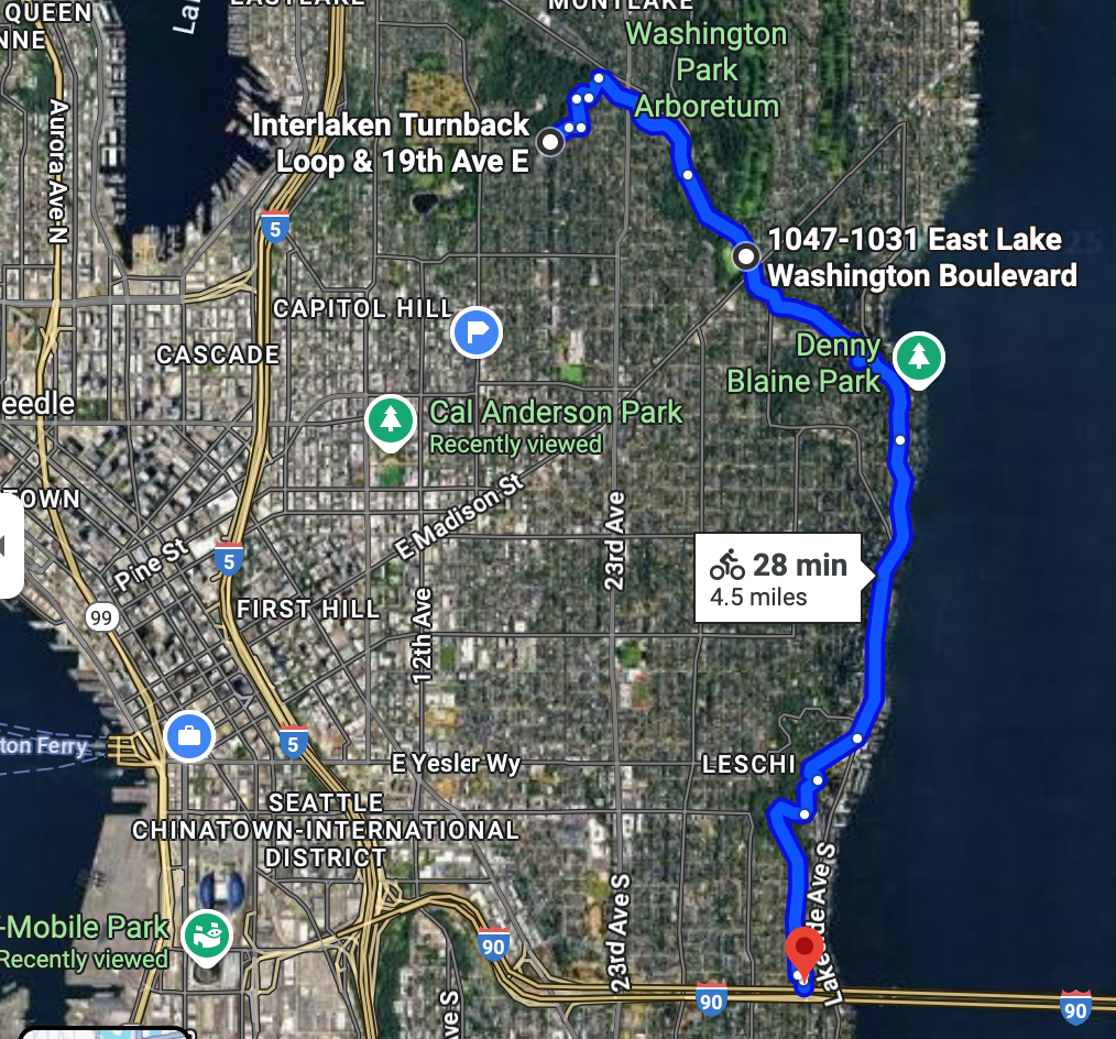
4.5 miles
Bike to the bridge that connects Beacon Hill to the International District
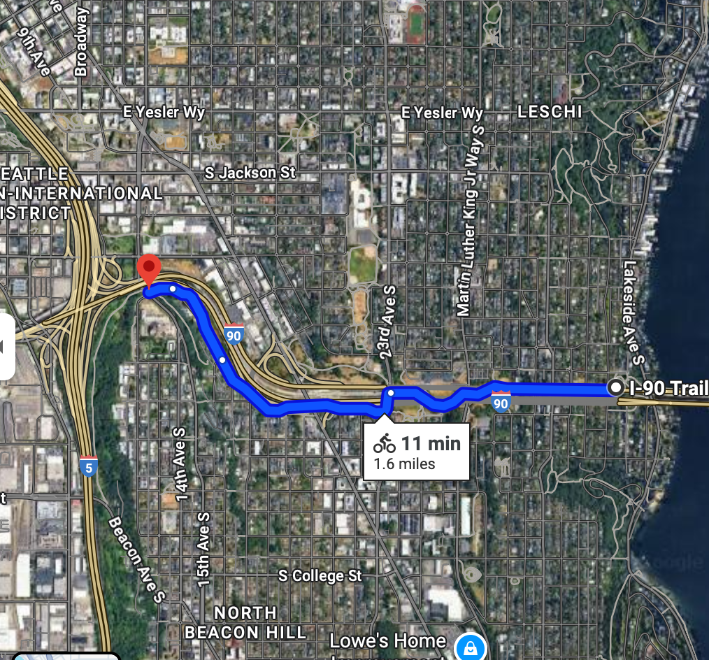 1.6 miles
Bike to Uwajmaya
Uwajimaya is a Japanese grocery store with a food court. This place carries a bunch of fascinating products and a million flavors of KitKats.
Good place to stop for lunch.
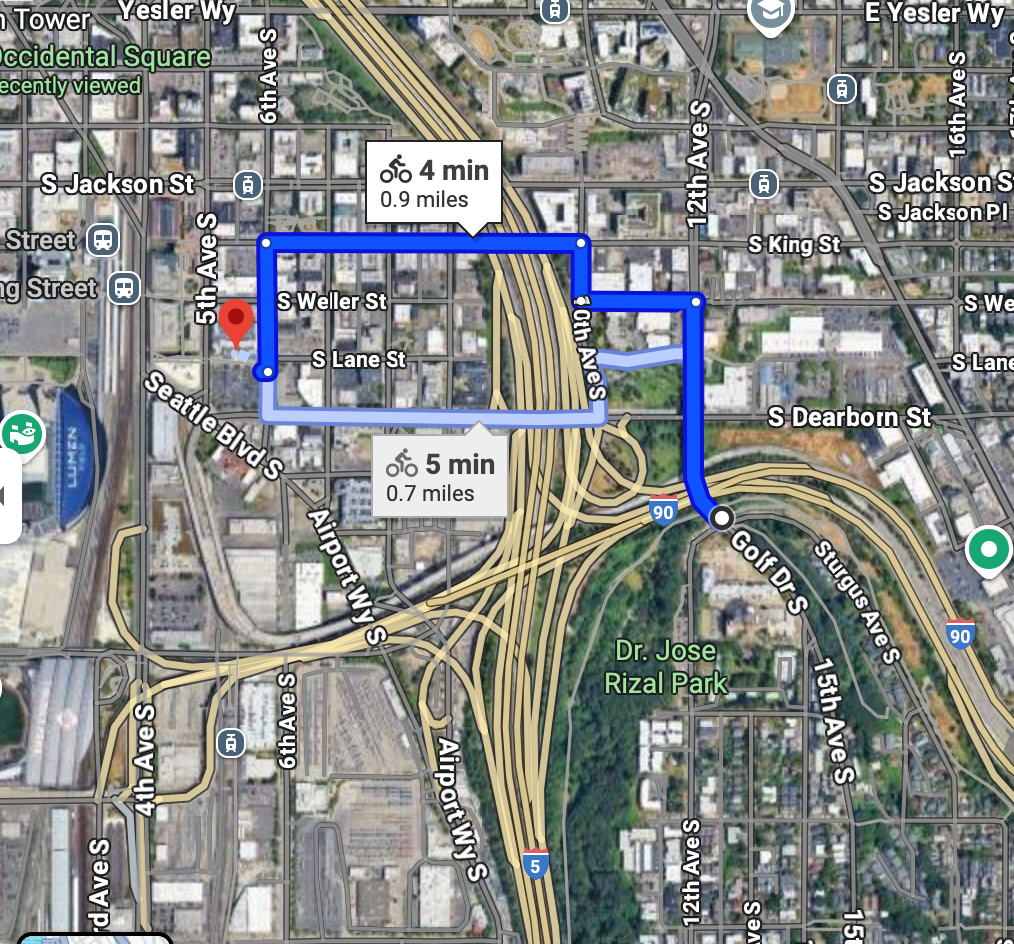
.9 miles
Bike to Occidental Square
Google Maps .6 miles
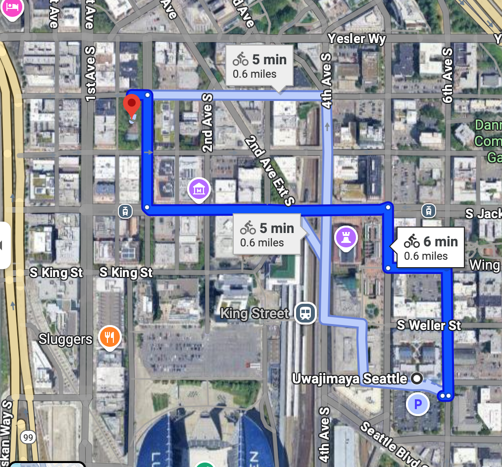
Occidental Square, at least in my opinion, is the heart of the Pioneer Square neighborhood. This is one of the oldest (if not the oldest) neighborhood in Seattle.
If you'd like, bike a few blocks south to see Lumen Field and T Mobile Park.
Bike along the waterfront and through Belltown to KEXP & Space Needle (Seattle Center)
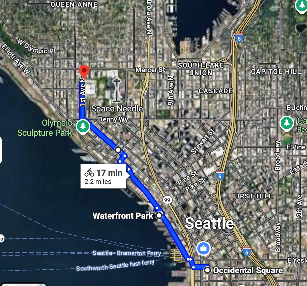
2.2 miles
This is the https://www.kexp.org/ "Gathering Space", my favorite "third place" in the city. They record and broadcast from the radio booth on site, there's a great coffee shop and a ton of comfortable seating.
There are 2 entrances - one from the street and one from the Seattle Center interior. There are bike racks along the interior.
Please also use this as an opportunity to tool around Seattle Center. Bike to the Space Needle, etc.
Bike Downtown to 2nd and Pike
Google Maps 1.8 miles
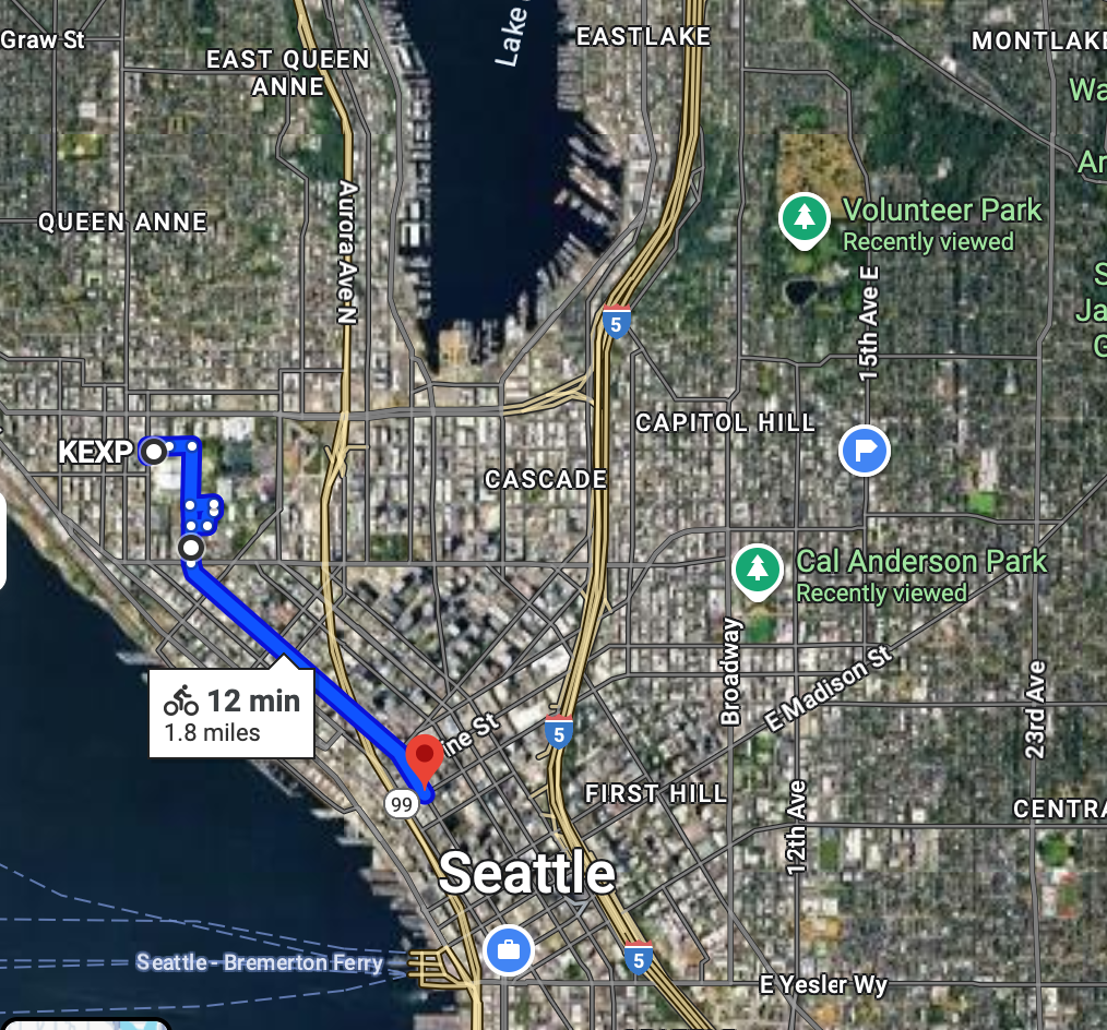
Bike back downtown to then make your way to Capital Hill. Leave Seattle Center, bike a few blocks and connect with the 2nd avenue bike trail.
Bike to Capitol Hill to Cal Anderson Park
Google Maps 1.1 miles
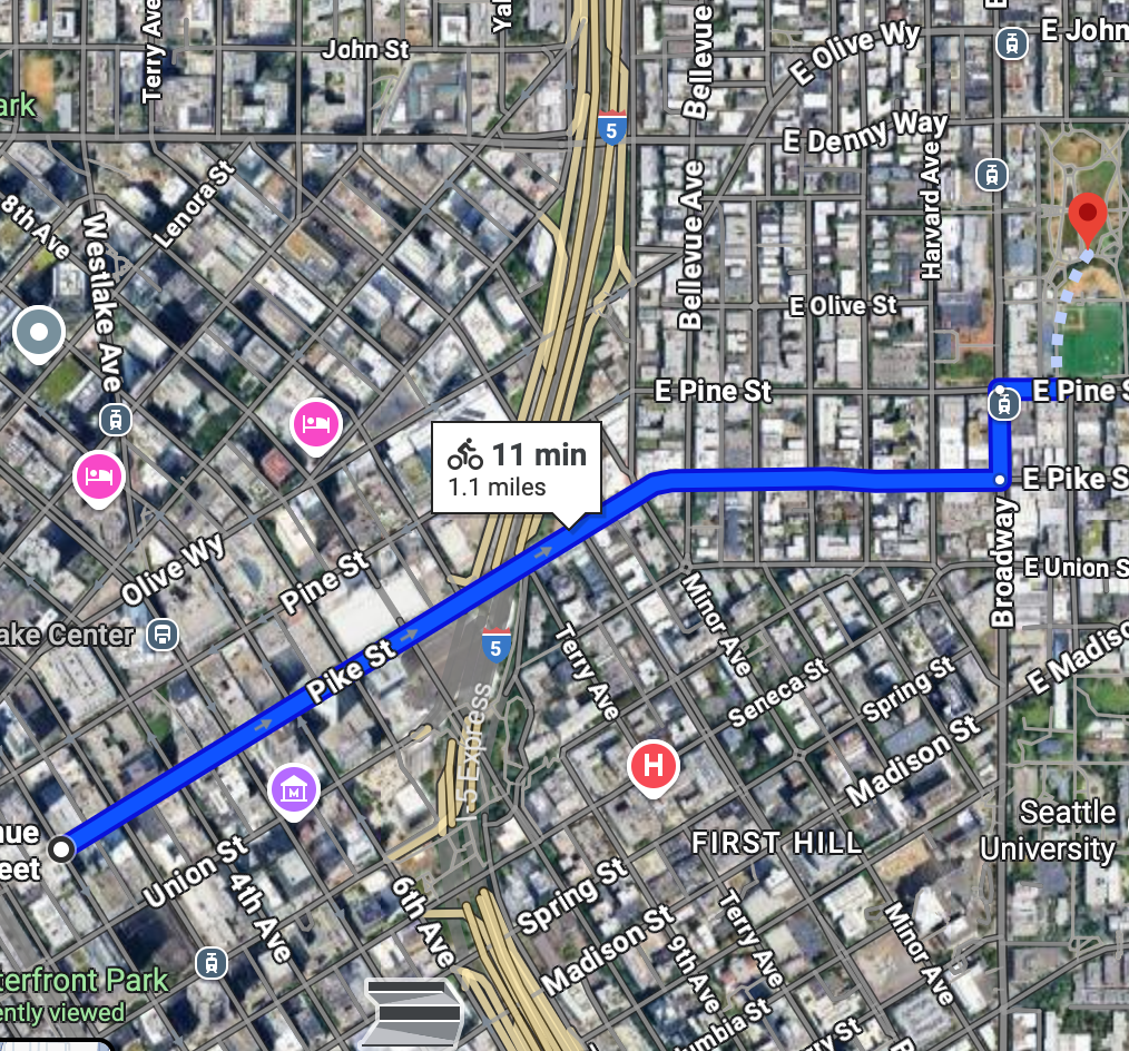
Capitol Hill is probably the most urban Seattle neighborhood. Cal Anderson park is where "CHOP/CHAZ" happened a few years back.
Bike to Volunteer Park
Google Maps 1.0 - miles
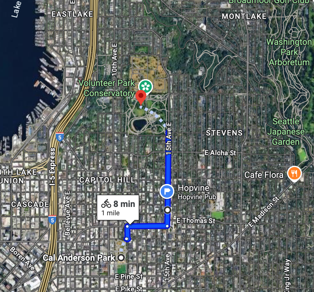
This is lovely ride through Capitol Hill. I used to do a weekly open mic on 15th and Republican at the Hopvine. If you're hungry, 15th ave is a great place to stop. This place is quick, cheap and delicious.
Bike down the hill to South Lake Union park
Google Maps 1.7 miles
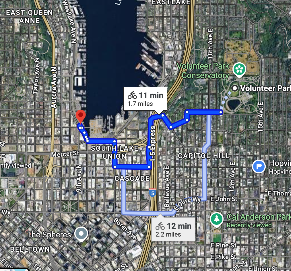
Bike downhill to get from Capitol Hill to South Lake Union. Enjoy the views from the overpass over i5. You'll be picking up with the Lake Union loop trail along Westlake.
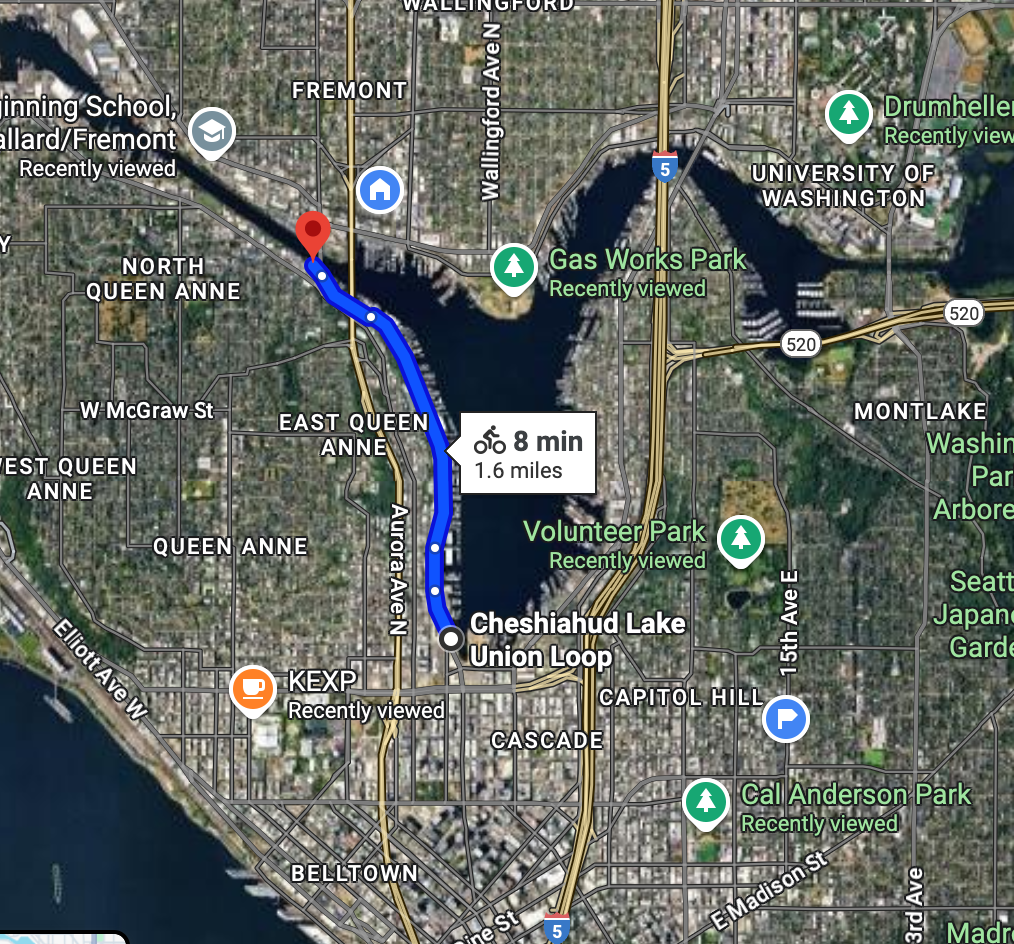
Bike the Lake Union Loop trail the Ship Canal Trail
Google Maps 1.6 miles
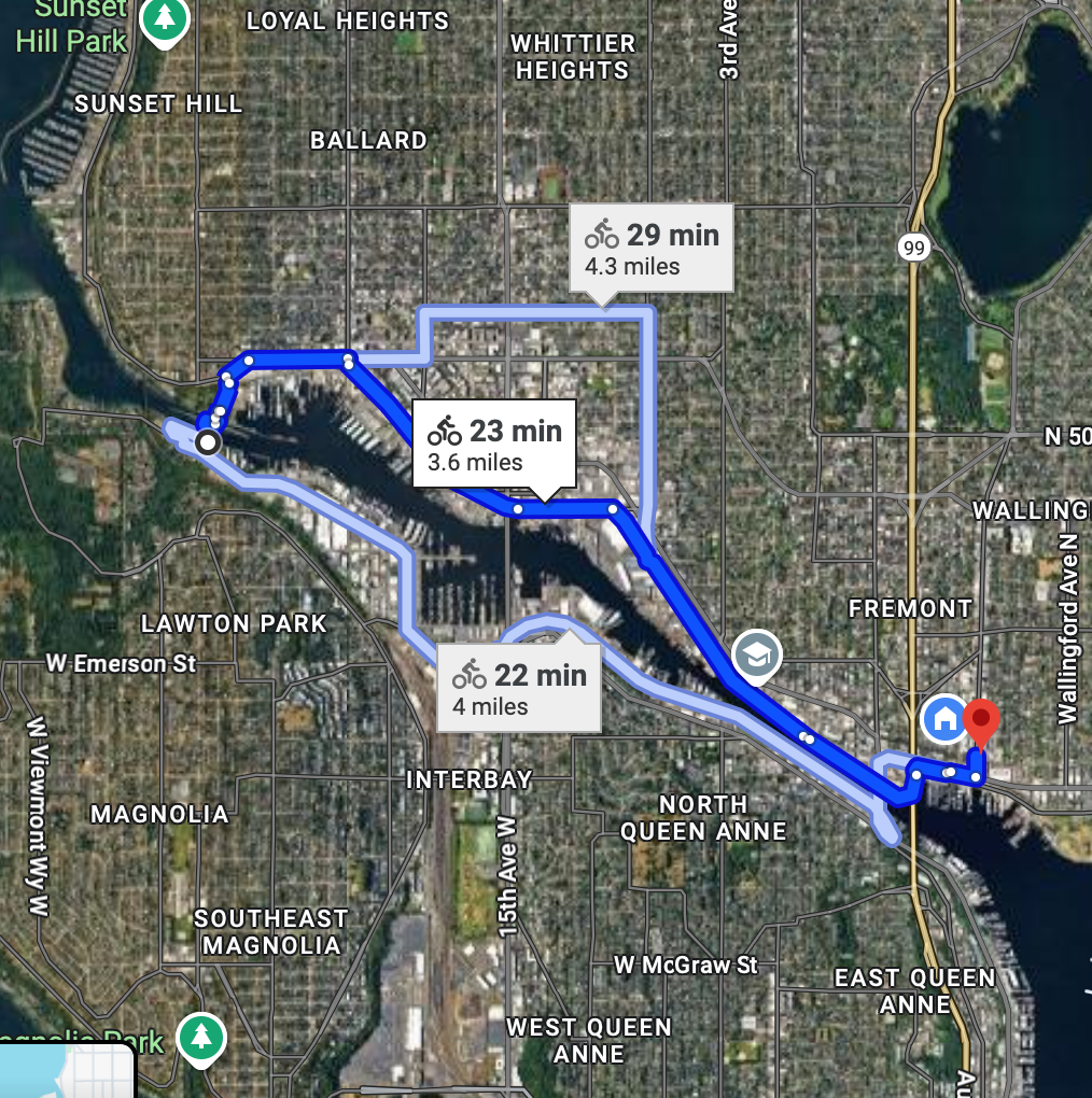
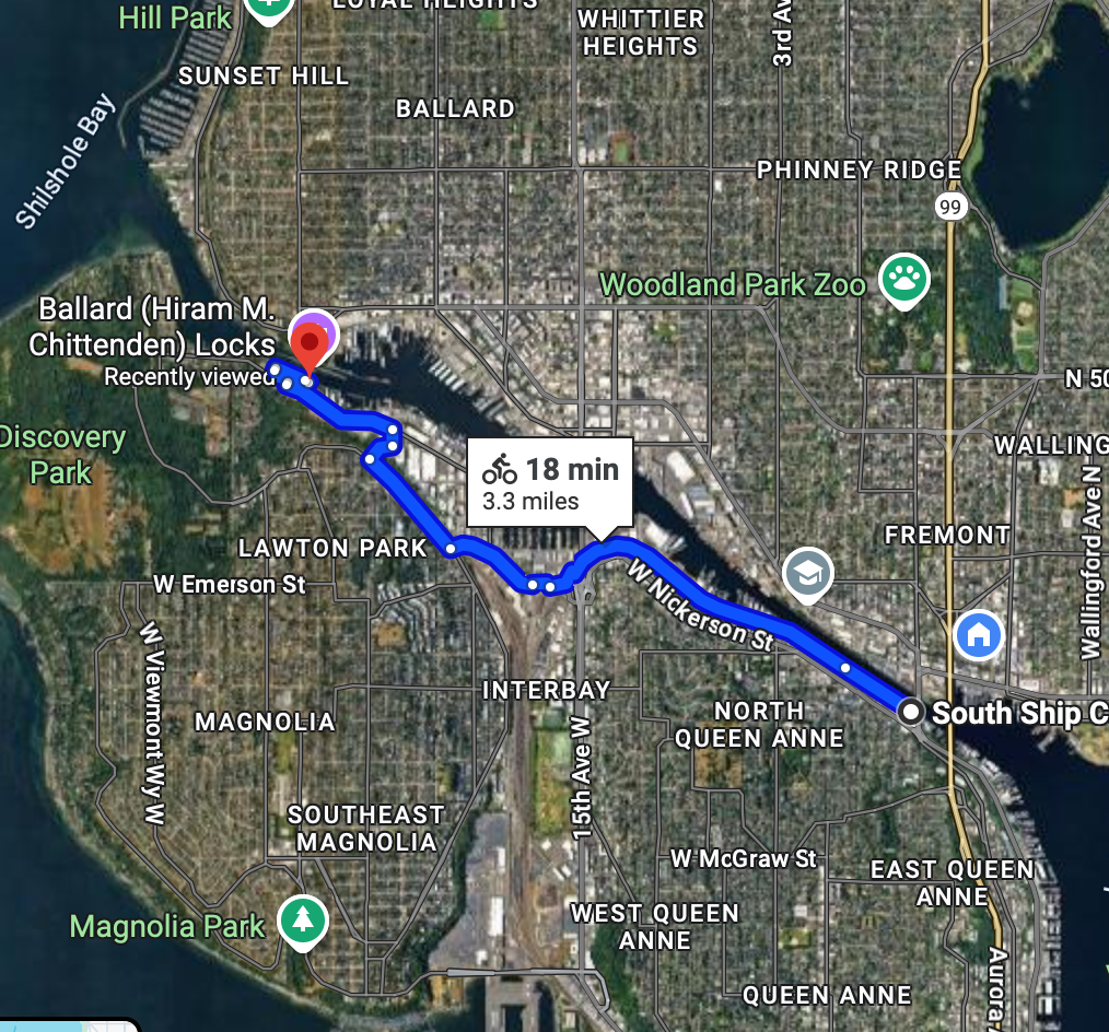
Bike to the Ballard Locks
Google Maps 3.3 miles
Optional - Bike to Golden Gardens park
Google Maps 2.3 miles
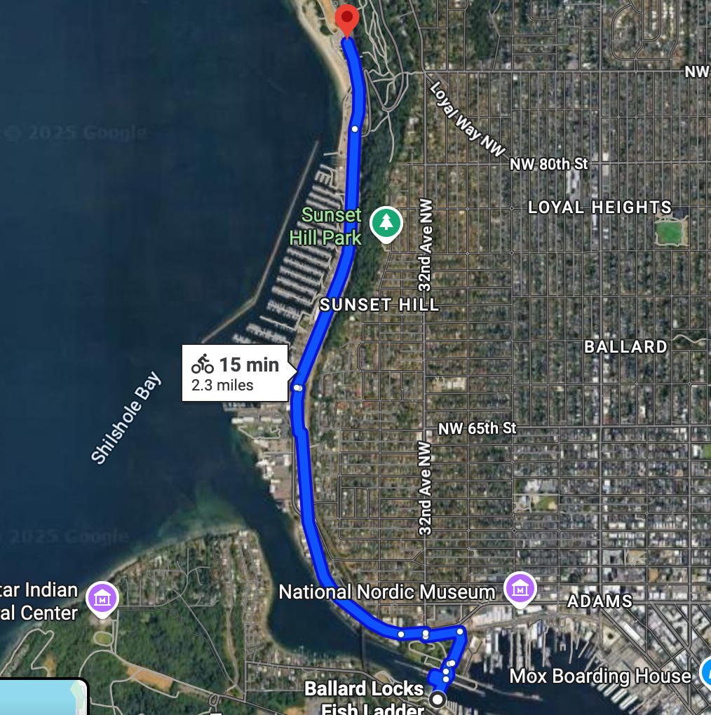
This is a beautiful ride up the western coast of Seattle to a beautiful west facing beach. This will add about 4.6 miles total to the trip, as it's out and back.
Optional - On the way back to Fremont - Stop at Urban Family brewing
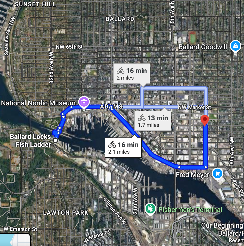
Ballard Locks to Return the bike
Google Maps 3.6 miles